0%
Our Aerial Services
We offer a wide variety of aerial drone services perfect
for every project.
for every project.

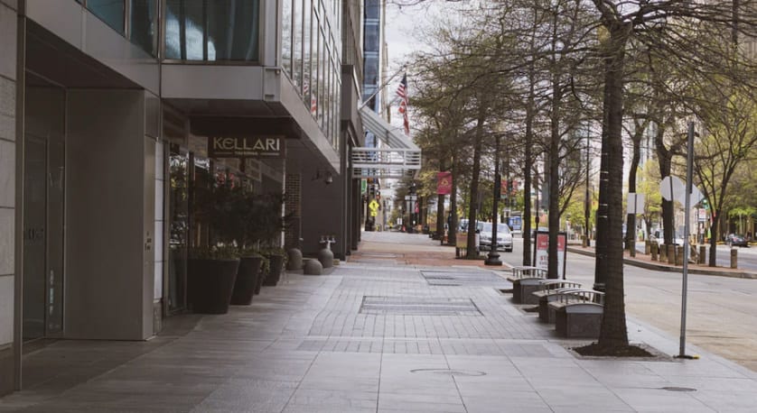
Commercial Real Estate Photography
Demonstrate the value of commercial properties with a multitude of aerial angles and views. Depict existing tenants, anchor retailers, location features and more. Present compelling imagery to clients, investors, or potential tenants.
Marketing Imagery
Get aerial footage of your location, products, and special events with breathaking drone footage shot in stunning 4K HD clarity. Show your customers previously unseen angles of your properties and products and give them reason to love you more.

Residential Real Estate Photography
Prospective homebuyers come to showings equipped with more information than ever before and often have tentatively concluded which home they want to purchase before ever even setting foot in a house or speaking with you.
Because this technology is only now becoming available to all, most home listings still don’t feature aerial photos or videos, thus creating a tremendous opportunity for you to stand apart from other agents and influence clients early.
Because this technology is only now becoming available to all, most home listings still don’t feature aerial photos or videos, thus creating a tremendous opportunity for you to stand apart from other agents and influence clients early.
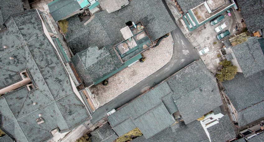
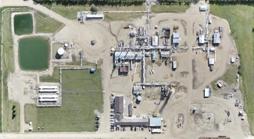
Inspection Services
We offer a wide range of inspection services for rooftops, storage tanks, cell and radio towers, solar panels, and bridges.
Safely collect actionable data of your subject with high-definition aerial images. Understand the condition of a structure and the current equipment installed. Make better, more informed decisions enabled by drone photography.
Safely collect actionable data of your subject with high-definition aerial images. Understand the condition of a structure and the current equipment installed. Make better, more informed decisions enabled by drone photography.
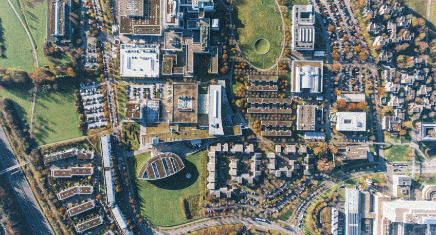
Mapping & Surveying
Get maps geo-referenced orthomosaics, and real-time project updates. Take measurements from aerial photographs and convert images of land masses into maps, 3D models, or drawings.
3D Modeling
Produce valuable 3D models of construction sites, commercial properties, or buildings. With advanced software, we combine data from multiple images to produce your 3D models. Visualize your property, measure volume, and calculate area.
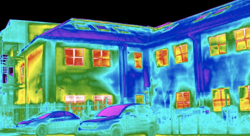
Thermal Imaging
Get maps geo-referenced orthomosaics, and real-time project updates. Take measurements from aerial photographs and convert images of land masses into maps, 3D models, or drawings.